One map. Two products.
Campybara is a single Android app that shape-shifts between two clear modes, depending on why you're holding the phone. Tourists get a camper companion. Locals get a parking helper. Everything else — the data, the map, the detail sheets — is shared.
Campers & campsites
Vans, views, very good vibes. 242 campsites, hot pots, highland huts and offline maps for road trips.
Free parking
Sniff out a free spot. ~3,500 parking entries: free zones, disc-zones, paid bays, rest stops.
Free map · one optional pack
Camper and parking modes are free online. Pay once only for the offline Iceland pack if you need campsites and parking data without signal.
Free to explore. Honest about money.
The camper map, search, photos, and detail sheets stay free. The only paid add-on is the offline Iceland pack (campsites + parking data when the signal dies). Optional tips open in your browser via PayPal.me — no in-app donation WebView. The welcome screen still sorts tourists vs locals in under three seconds.
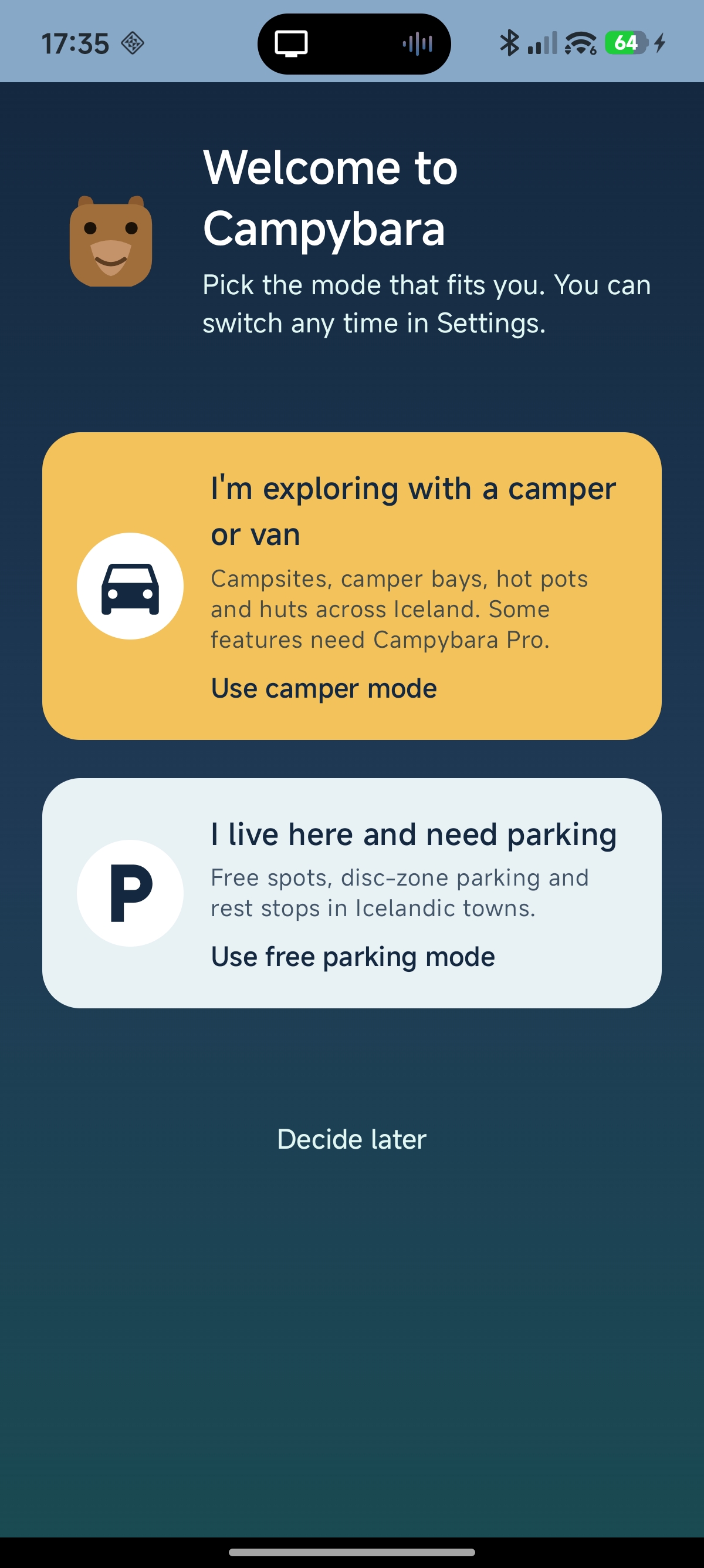
Welcome to Campybara — pick the mode that fits you.
A bright yellow card for travellers exploring Iceland in a camper or van. A muted card below for locals who just need to find parking. A "Decide later" link for users who aren't ready to commit. The choice is persisted to DataStore so the app never asks again.
The screen also introduces the bear mascot and the warm tone of voice that runs through the rest of the app. It's the first impression we never used to make.
Iceland-wide. Real density.
No other free Iceland-specific app has this depth of coverage. Every category of place a road-tripper actually needs, on one live map. Tap any marker for a detail sheet with directions, facilities and contact info.
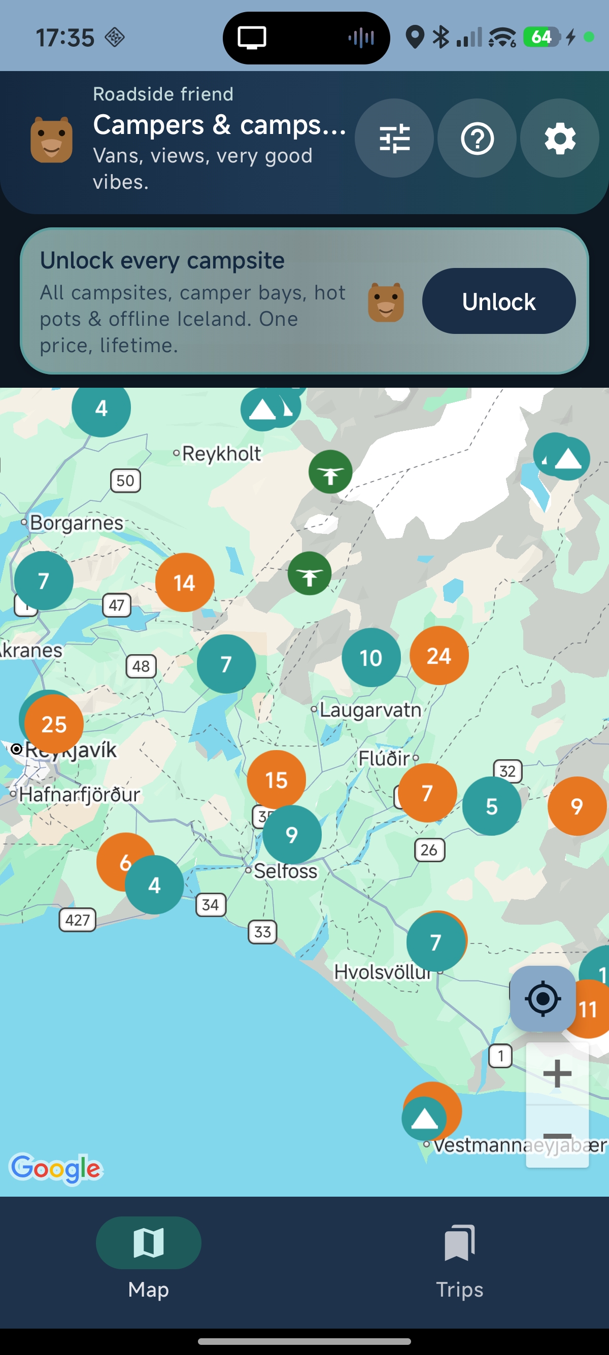
South Iceland at a glance.
Tent markers for campsites, orange droplets for hot pots and pools, brown houses for highland huts, green icons for nature and viewpoints. Numbered clusters thin the noise at low zoom — 25, 24, 18 — and fan out as you pinch in.
v1.0.5 removed the Pro banner from the map — the live map is free online. When you're offline or the network fails, Settings offers the offline pack or a gentle path to support the project via PayPal.me.
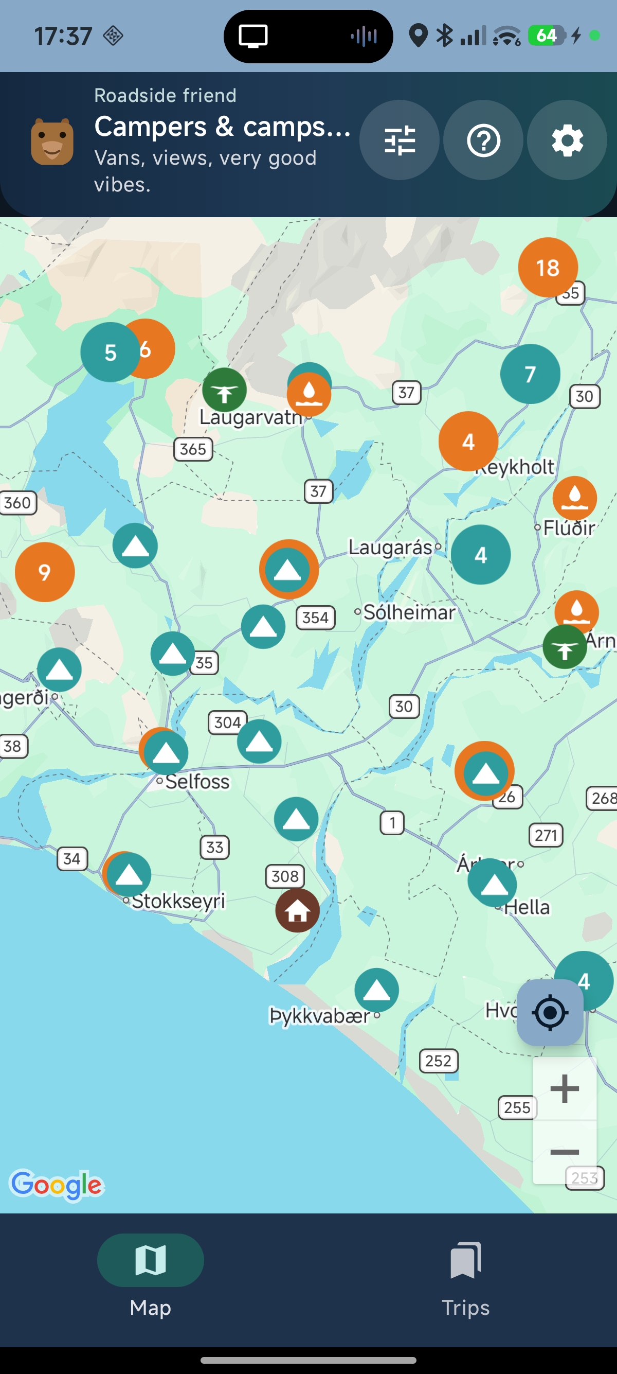
Where decisions happen.
Mid-zoom is the workhorse view. "I'm in Selfoss — where am I sleeping tonight, and is there a hot pot to soak in first?" One screen, both answers. Hot-pot markers cluster around Flúðir (Hrunalaug, Secret Lagoon, Sundlaugin á Flúðum). Tents at Reykholt, Laugarás, Hella. A highland hut peeks in from the north.
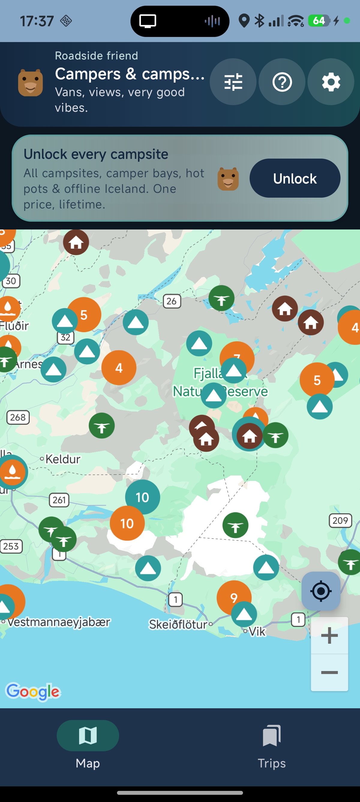
Honest coverage of the highlands.
Brown house markers cluster in Fjallabak Nature Reserve and Landmannalaugar — the alpine huts that give the highlands their backbone. Each hut detail sheet links to a real phone number for vacancy checks. Hut markers can be toggled off if a user is sticking to the Ring Road.
A friendly map, not a busy one.
A one-tap legend explains every icon. A filter sheet exposes real ISK thresholds and "Open today" — the questions a tourist actually asks.
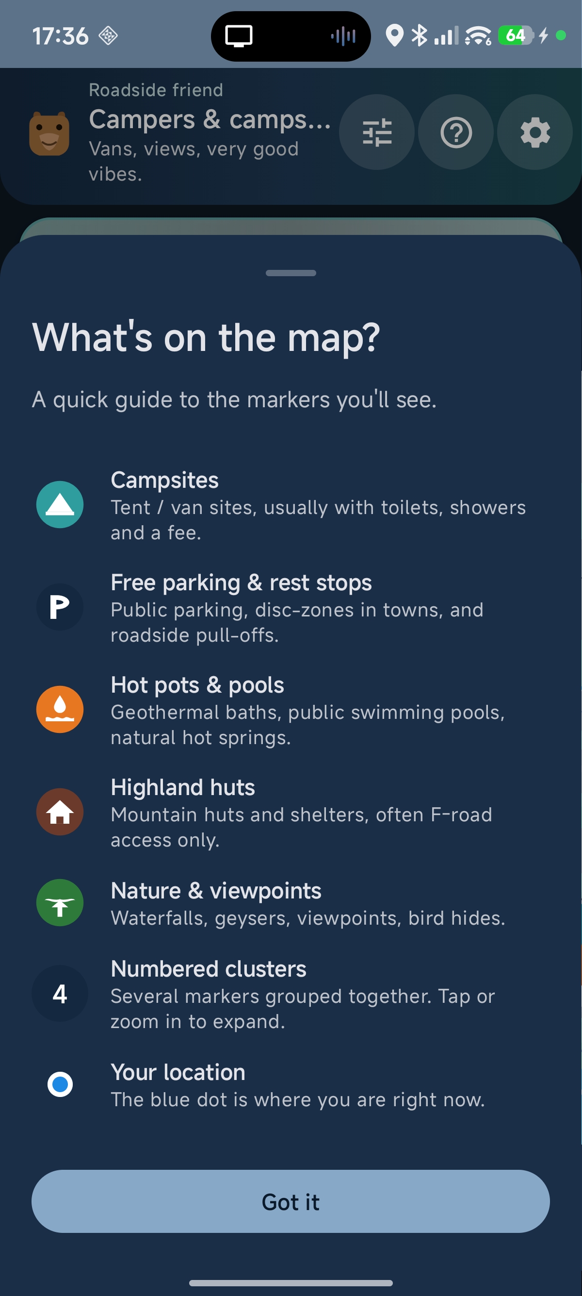
"What's on the map?" — answered in five seconds.
A new ? button in the header opens a bottom sheet that mirrors the live drawables on the map: Campsites, Free parking & rest stops, Hot pots & pools, Highland huts, Nature & viewpoints, Numbered clusters, Your location. Each row uses the actual icon the user just saw on the map.
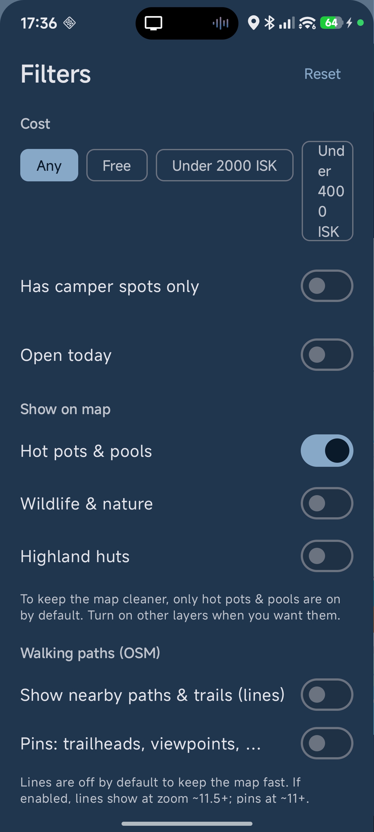
Real ISK, not fuzzy bands.
Cost chips in actual ISK thresholds — Free, Under 2,000 kr, Under 4,000 kr, Any. "Has camper spots only" surfaces sites with dedicated van bays. "Open today" cross- references the current date with each site's operating season — a daily-use tool, since most Icelandic campsites are seasonal.
Layer toggles default to a clean map: Hot pots & pools on, everything else off. Trail-related content sits in its own section, off by default and clearly labelled, ready for a future Wapp integration.
Everything you need to decide, on one screen.
Tap any marker. A bottom sheet slides up with the title, an English-first headline (when the device locale is English), a live distance pill, facility chips, and a fat "Open in Maps" button to hand off to turn-by-turn directions.
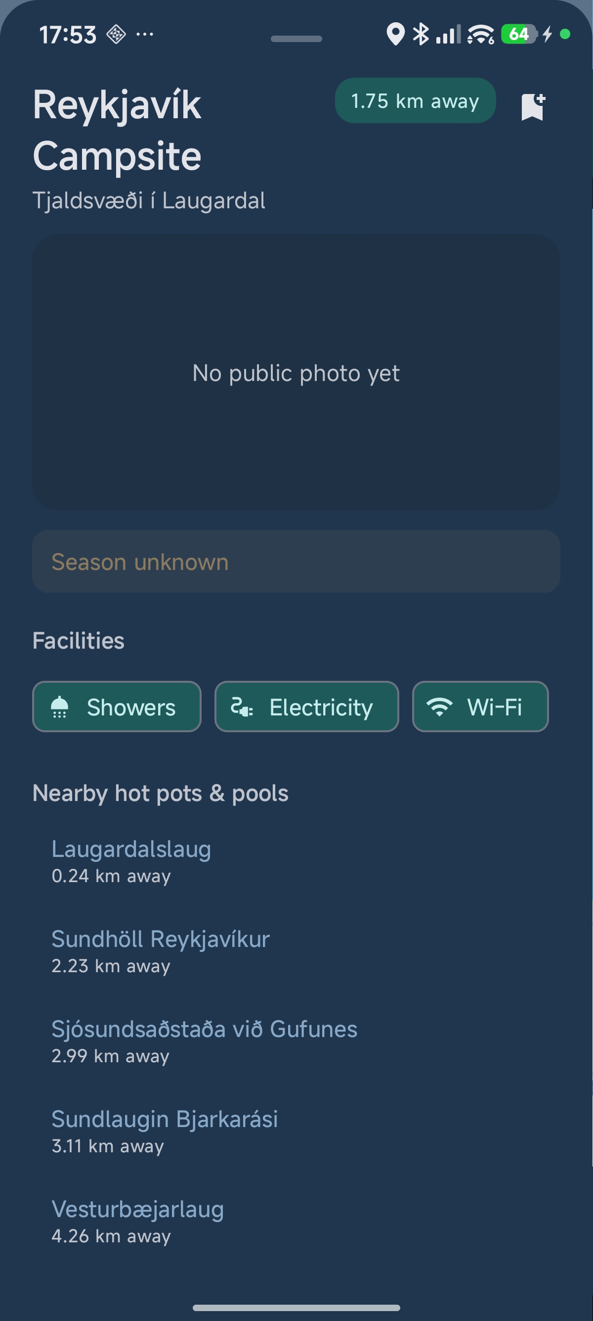
Reykjavík Campsite — where the whole pitch lands.
English headline (Reykjavík Campsite) with the Icelandic name as a subtitle (Tjaldsvæði í Laugardal). Distance pill. Hero photo when we have one. Facility pills: Showers · Electricity · Wi-Fi. Then the killer touch: a "Nearby hot pots & pools" list with five entries sorted by distance.
From the campsite, a single tap takes you to Laugardalslaug at 0.24 km, or Sundhöll Reykjavíkur at 2.23 km, or Vesturbæjarlaug at 4.26 km. Every detail sheet quietly turns into a hub for "what else is here?"
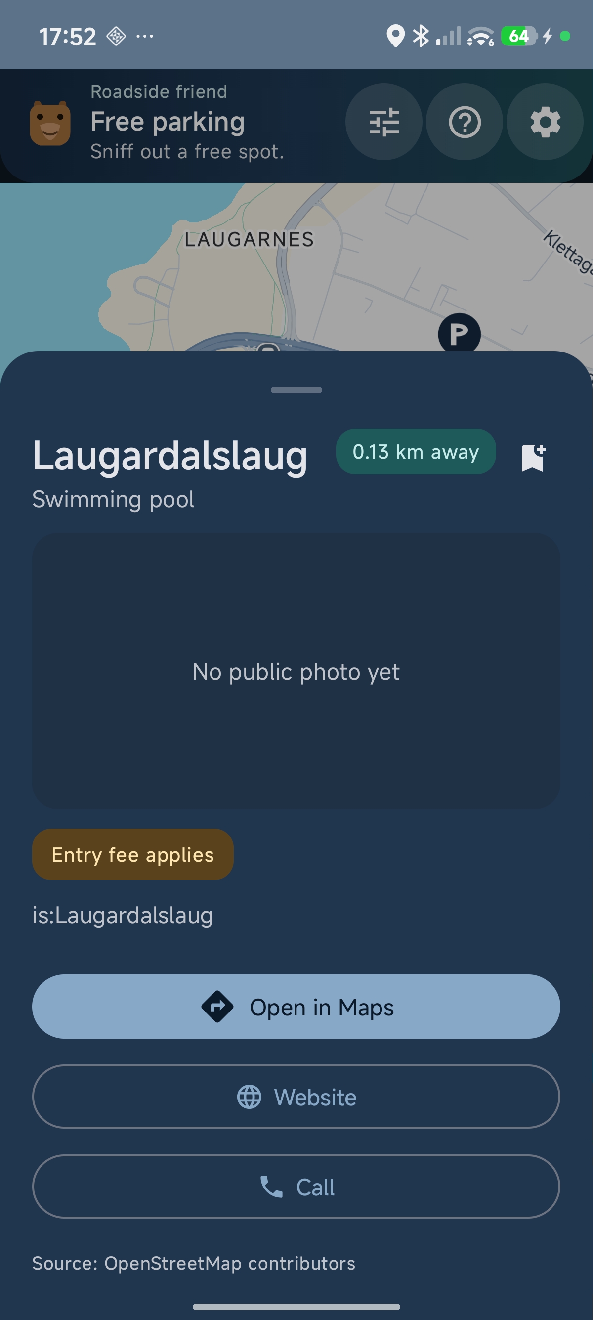
Every public pool in Iceland.
Open in Maps for directions, Website for opening hours, Call to check capacity. "Entry fee applies" badges where the OSM data flags it. The data was rebuilt from a broader Overpass query in v1.0.2 — every public swimming pool in every Icelandic town, the famous geothermal baths, plus indoor and outdoor pools.
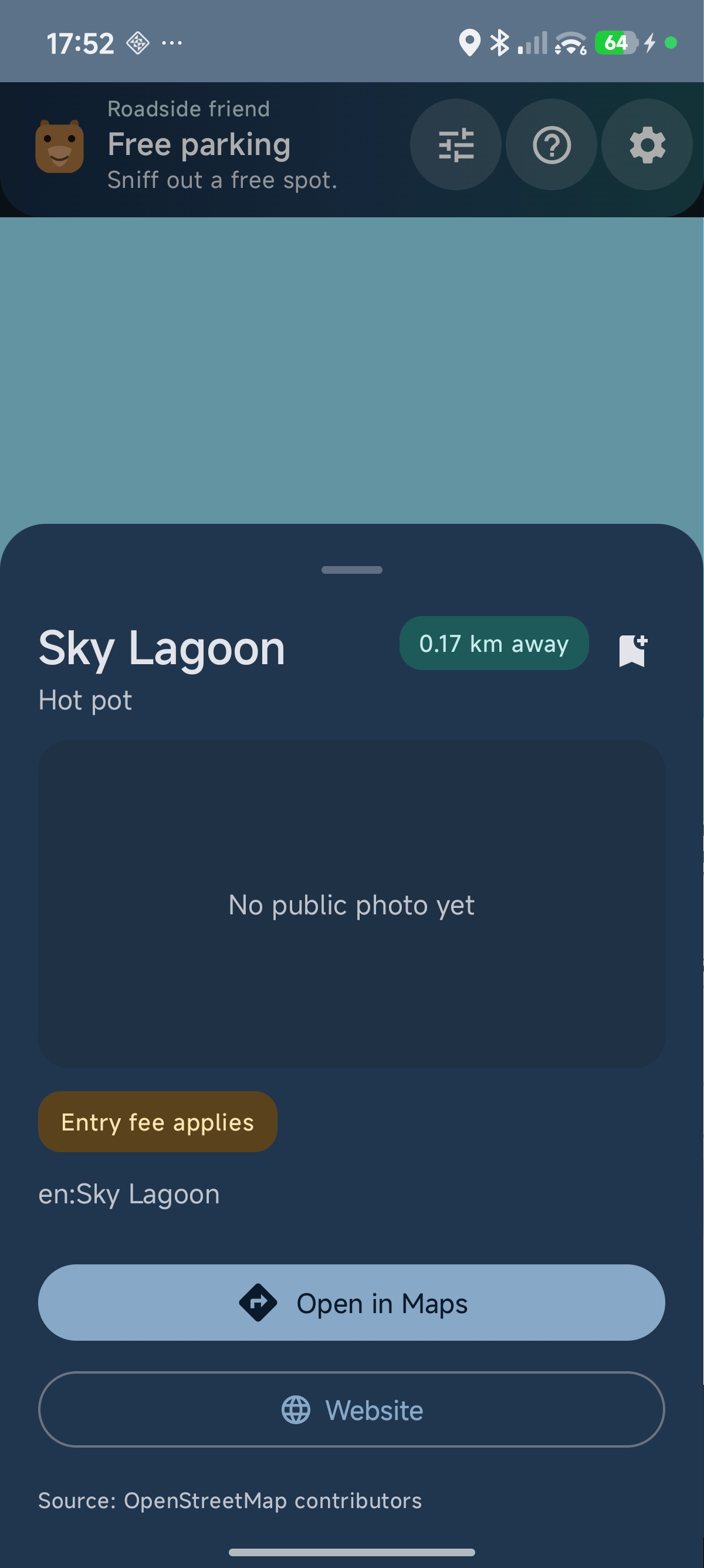
Discoverable, not gatekept.
Sky Lagoon is one of Iceland's headline experiences. Sam from Manchester didn't come with a guidebook — he found it because Campybara surfaced an orange droplet on his map and the detail sheet linked straight out to skylagoon.com.
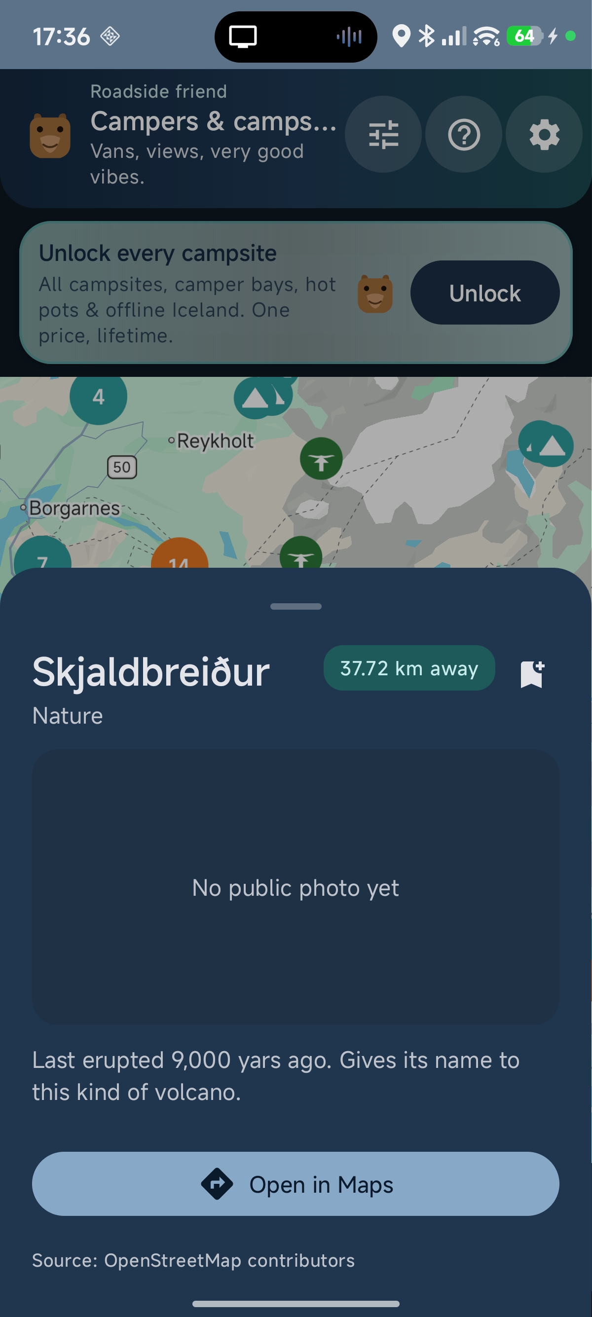
Side-attractions, not just sleeping spots.
Waterfalls, viewpoints, geological landmarks. Each Nature POI sheet shows the OSM description, a distance pill, and Open in Maps. Skjaldbreiður is the volcano that gave its name to "shield volcano" worldwide — exactly the kind of detour Campybara is built to suggest.
Same app, second product.
Switch to Free parking mode in Settings — or pick it on the welcome screen — and the whole top bar reskins. The data swaps. The mascot stays. Everything you've learned about the camper mode applies to your daily commute.
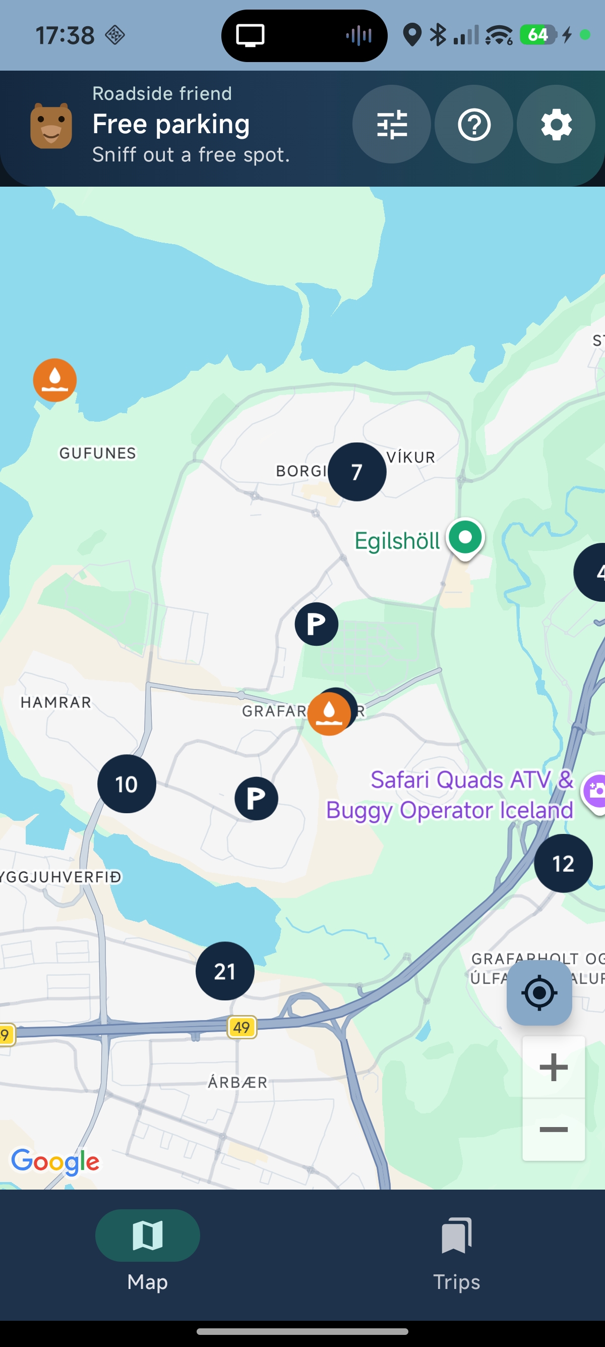
Árbær / Grafarholt at a glance.
Black "P" markers for free and disc-zone parking, dense clusters of 7, 10, 12, 21 across the Reykjavík suburbs, and orange droplets for the city pools (Egilshöll visible). Tap any marker for a detail sheet with parking type, restrictions and directions.
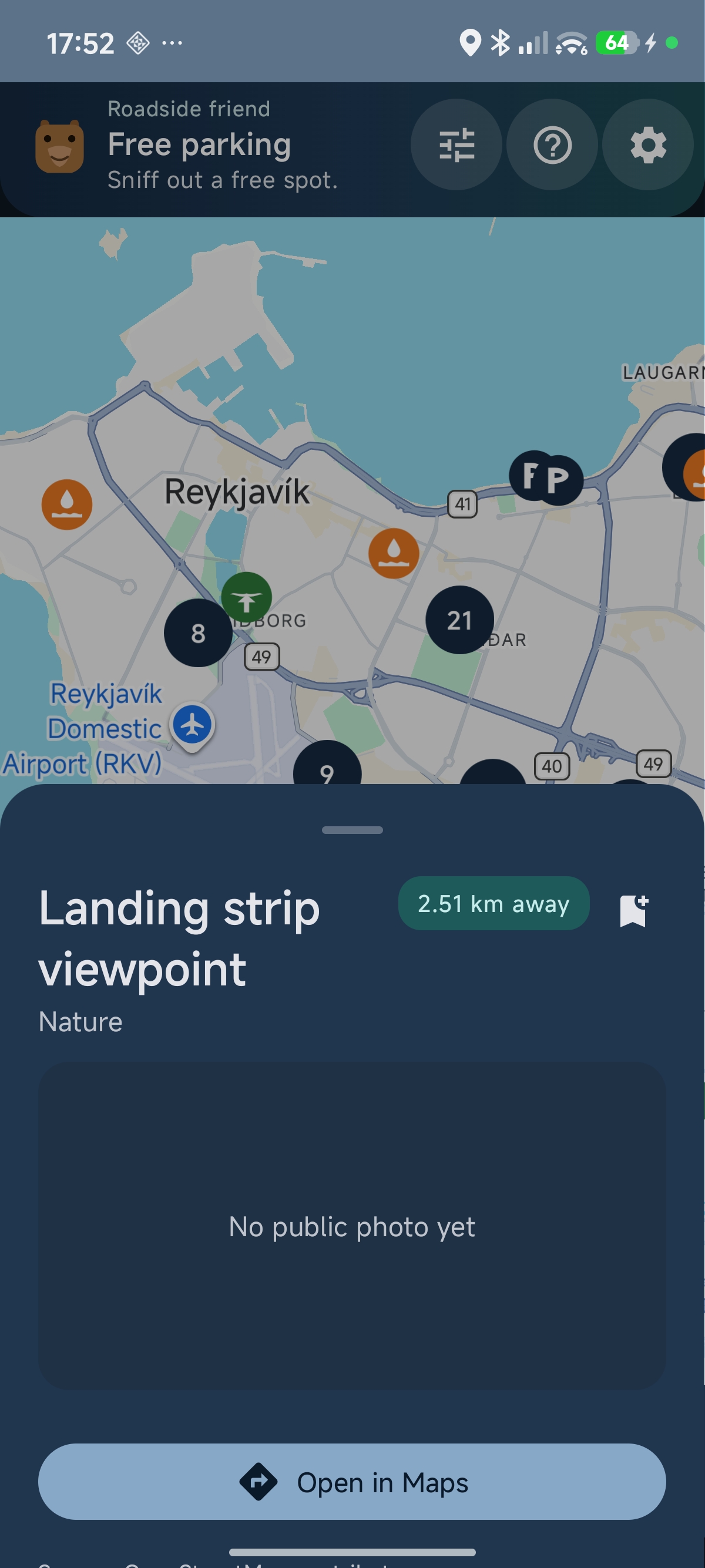
Locals find their own city.
Parking-mode users see Nature POIs too — viewpoints, parks, hidden trails — without the mass of campsite markers. Same data layer, different framing.
One optional pack. Tips if you want.
No subscription. No “unlock the whole map.” The offline Iceland pack is a single Play purchase: download campsites and parking for weak-signal areas (map tiles still need data). Voluntary tips use PayPal.me in Chrome Custom Tabs — simple and reliable.
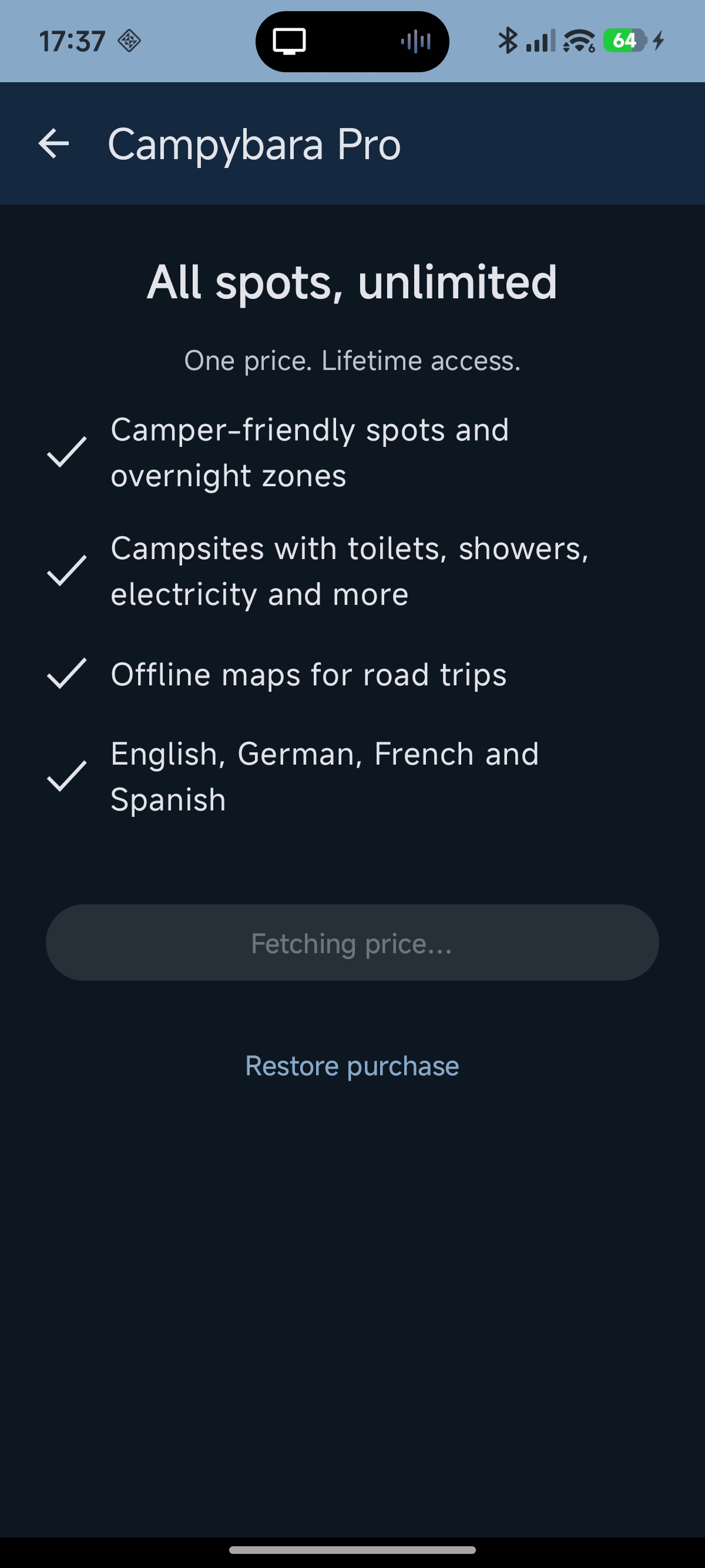
Data that survives the Westfjords.
Download Iceland campsite and parking datasets for offline search and detail sheets when connectivity drops. Map tiles still need a connection — we're honest about that in Settings.
One in-app purchase via Google Play Billing, with restore for reinstalls. Everything else on the camper map stays free while you're online.
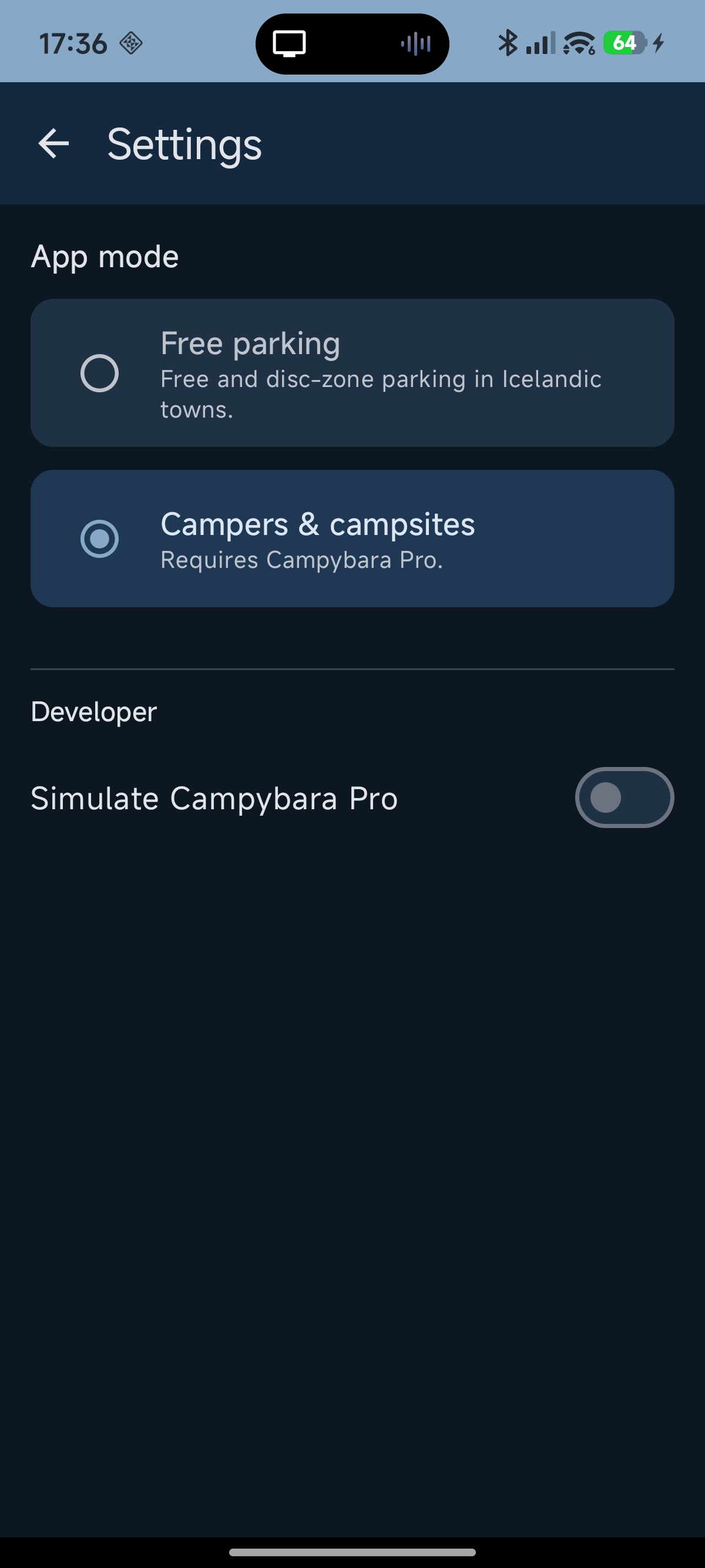
Mode, offline, support — one scrollable screen.
Switch between Free parking and Campers & campsites any time. Offline pack section shows unlock or download progress. Support the project opens PayPal.me in your browser — no Ko-fi WebView, no nagging banners on the map.
The Trips planner is hidden from the bottom nav for now; the code stays for a future version when it's worth shipping.
An unusually warm map app.
The voice
"Sniff out a free spot."
"Vans, views, very good vibes."
"Roadside friend."
The mascot
A small bear ("capybara" stretched into Icelandic) appears on the welcome screen, in the header, in the upsell banner. Twee on paper, charming in practice.
The colours
Deep navy, teal accents, aurora-soft lavender, a single sun-yellow hero colour reserved for primary calls-to-action. Restrained but recognisable.
Try the demo APK
v1.0.5 (build 6) · ~22 MB · debug-signed. Sideload from tolvuhvislarinn.is/projects. Android 8.0 or later. No account, no tracking, no ads.